Sept 15, 2013
Done for the Season
We have returned home. Mike was suffering from sharp pains in his hips and feet (arthritis?) while we hiked through the Bob Marshall Wilderness so we shut it down for the year. I keep thinking of Diana Nyad on her previous attempts to swim from Cuba to Florida. Like Diana, I feel like we just kept getting stung by jellyfish as we tried to make in through MT!
What an amazing experience we have had this year! Mike and I agree that it has been one of the most satisfying experiences of our life. Traveling this way since mid-April has tested our physical abilities, mental toughness, navigational skills on the trail and on roads getting to the trail, ability to adapt to unexpected situations and overall travel hardiness. We have met and seen so many interesting people, places, animals and things. We will treasure all of the memories. Someone asked me if we had a relaxing trip. The answer is an emphatic "no". Instead of a cruise imagine a marathon. Running a marathon can be rewarding, but it is far from relaxing. I understand why many hikers after completing one long-distance trail tackle one or more other long-distance trails - something about it is quite addictive!
Impressions of the Bob Marshall Wilderness:
* The Red Shale Fire continued to burn in the Bob Marshall Wilderness so we, along with all other CDNST hikers, were rerouted to trails further west of the area we hiked in August. We enjoyed seeing a different area of the Bob.
* We suspected the fire was smoldering vs. burning because the skies were clear and blue. A month ago it was very hazy throughout northern Montana. It is amazing how much the clear skies and unobstructed views improved our impressions of this area. I didn't realize it at the time, but the haze we experienced in August felt a bit oppressive.
* The weather was excellent during our backpack. The days were warm with slight breezes. Rarely a cloud passed by and not a drop of rain!
* It was very quiet in the Bob. Almost eerily so. There was little wind, few bugs, hardly any birds singing, and the only people we saw after the first day were 2 packers leading 3 hunters out with a string of 15 or so mules/horses.
* This was a great time to hike when it came to water crossings. All of the rivers and creeks were easily passable this late in the season, yet there was still plenty of water to drink.
Coming up:
We need to hike about 700 miles to complete the CDNST. We hope to finish the trail in the summer of 2014. We will wear our jellyfish masks!
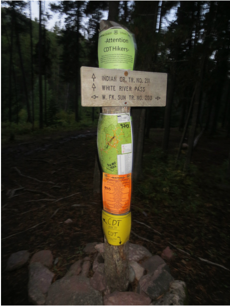
Information that directed CDNST hikers to head to trails to the west
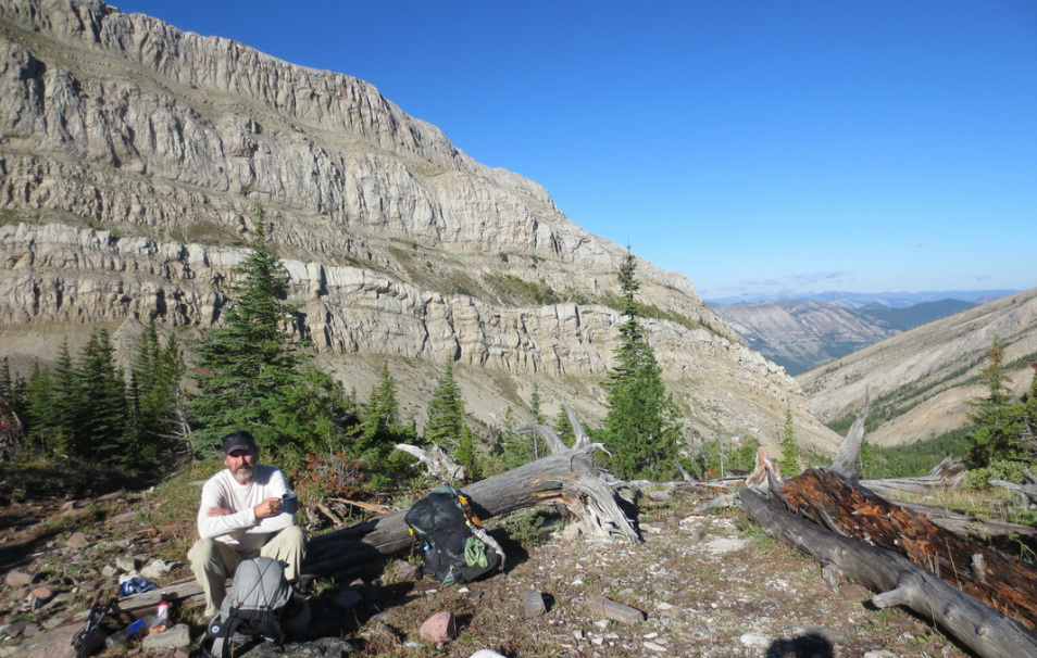
Breakfast at White River Pass
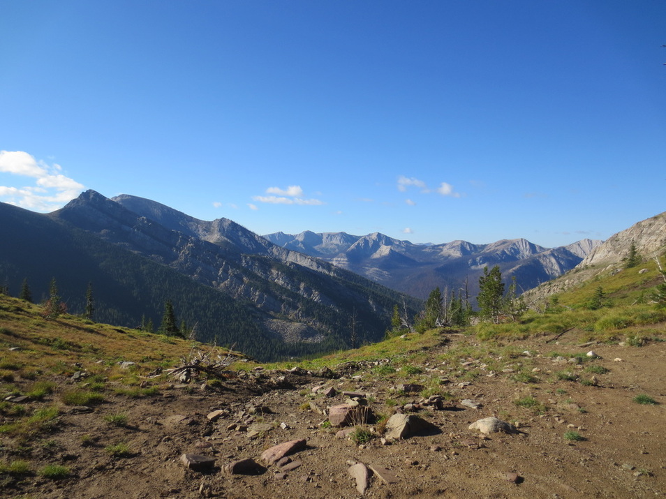
View as we came off of White River Pass
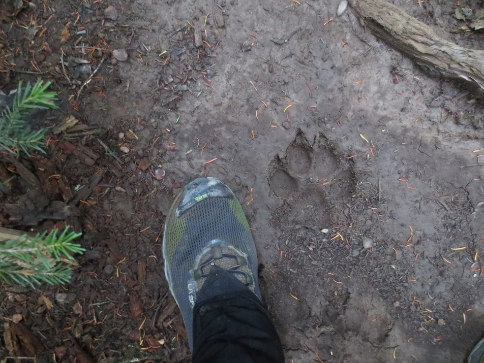
Wolf print?
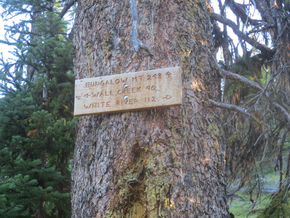
The trails through the Bob were well signed

One of many water crossings in the Bob. Water was easy to cross this late in the season.
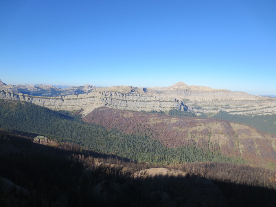
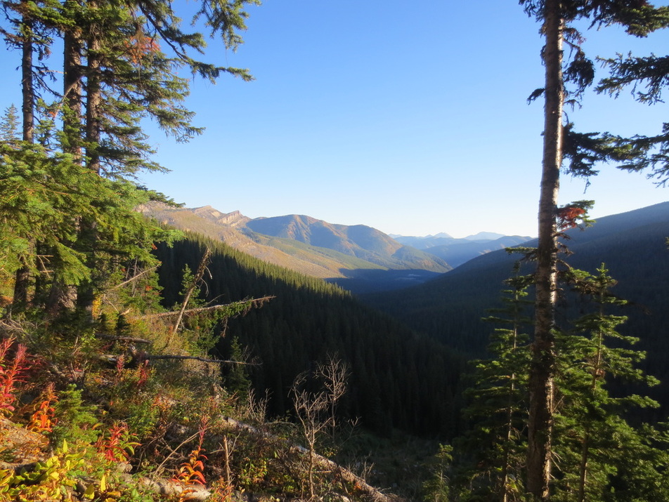
View from ridge north of Bungalow Mtn
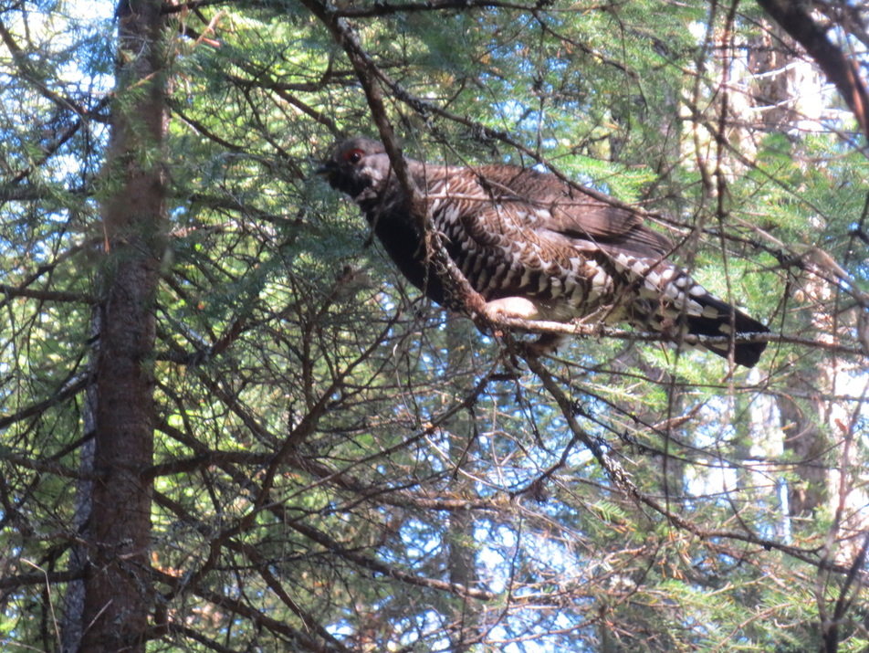
The animal we saw the most - sage grouse. Frequently we saw them walking on the trail in front of us.
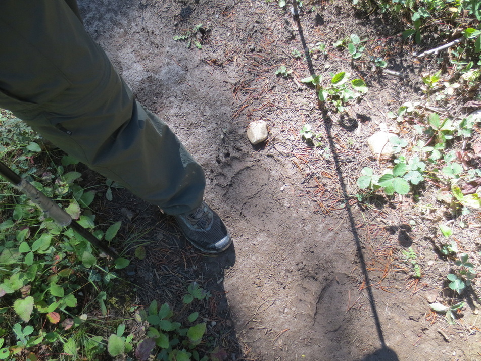
Bear paw print. Grizzly or black bear? See tracking tips in picture below.


Mike at top of Switchback Pass - it was a tough climb. View behind him is where we were headed.
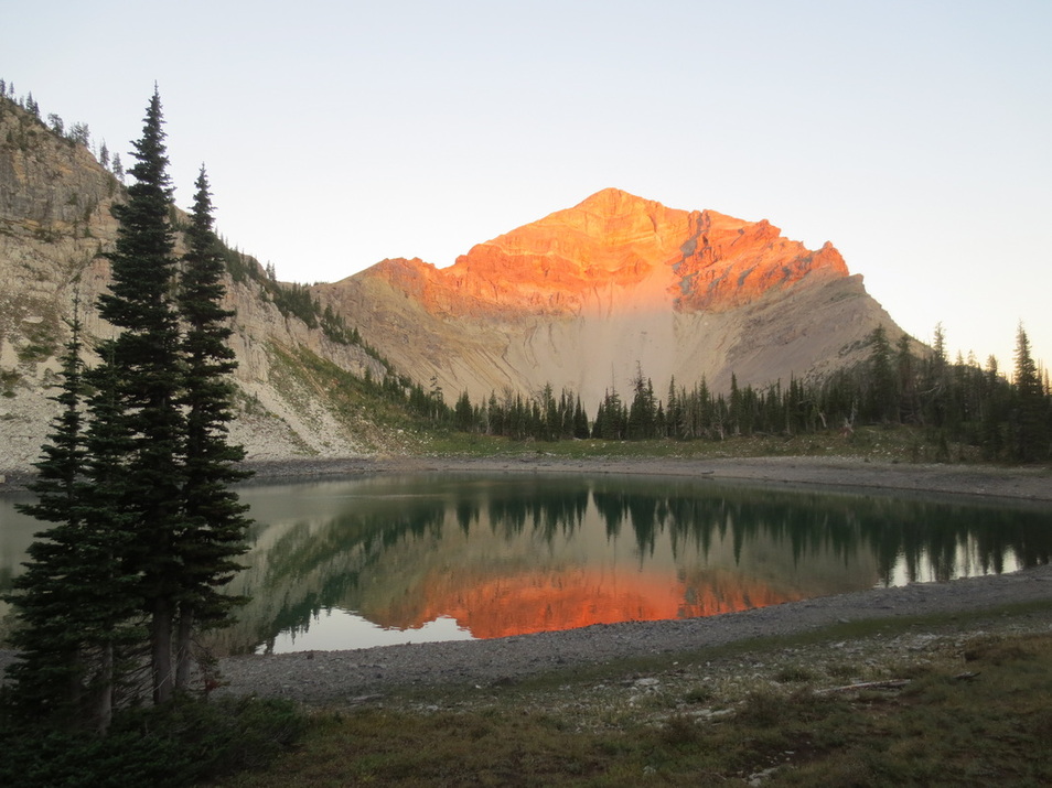
Dean Lake. We camped here one night.
Orange and red colors at bottom left of picture indicated the approach of fall
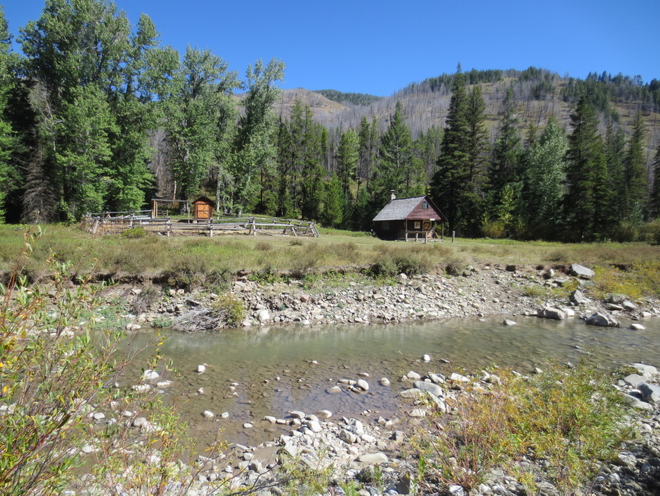
Ranger station and corral at Gooseberry Park

Fireweed had dropped their petals and branches had become receptacles for cotton dropped by cottonwood trees
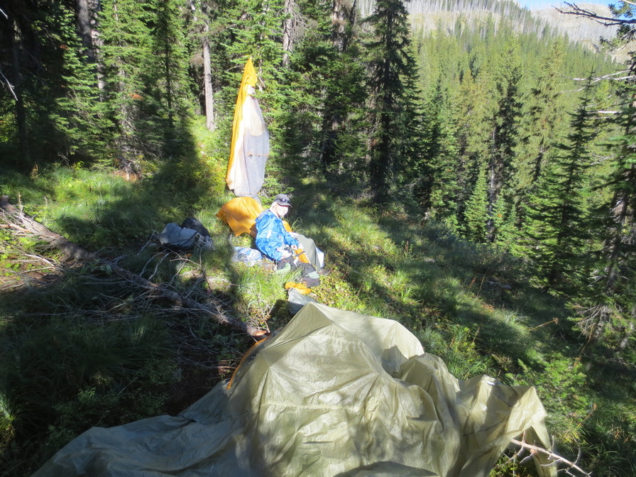
Breakfast stop where we dried out our tent. Even though it hadn't rained, morning dew made for a wet rain fly and ground cloth
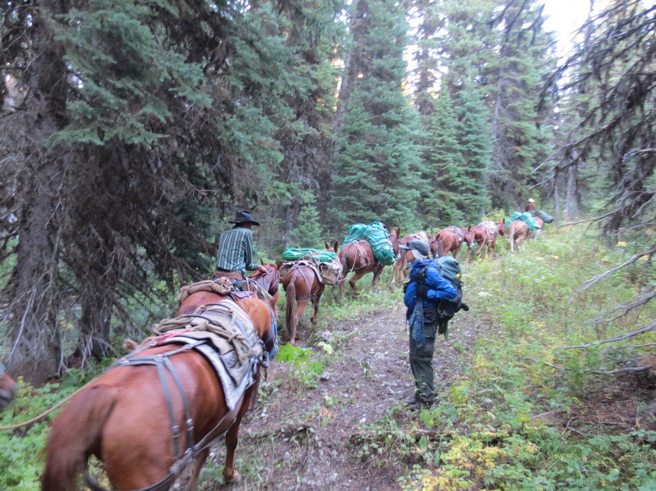
Packers returning with 3 clients after an unsuccessful hunting trip
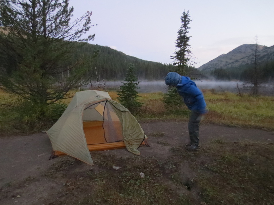
Morning mist on Beaver Lake as I packed up our tent
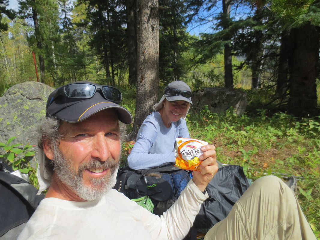
Taking a break close to Badger Ranger Station. Cheesy Goldfish - tasty!
Terrain changed about 12 miles south of our Marias Pass. This pass divides the Bob and Glacier National Park.
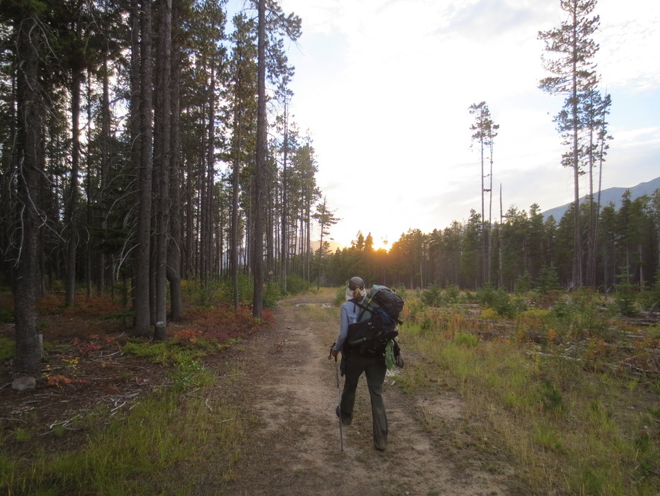
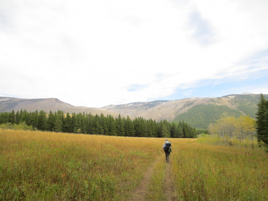
Walking briskly to reach our car at Marias Pass before sunset
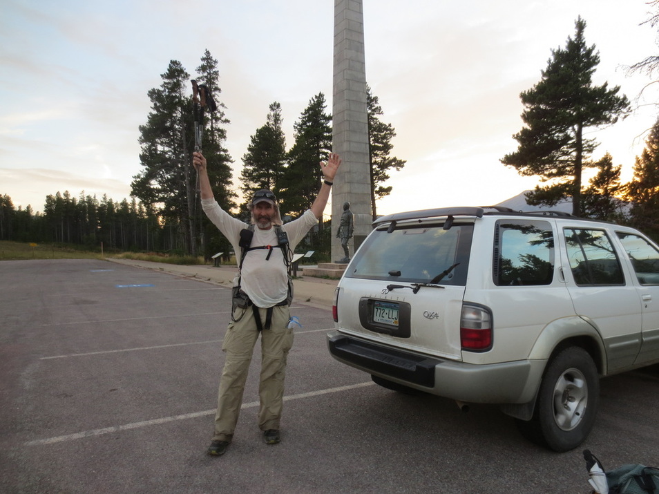
Arrival at Marias Pass!
