June 22, 2013
Approaching South Pass City & Orphans Near CO/WY Border
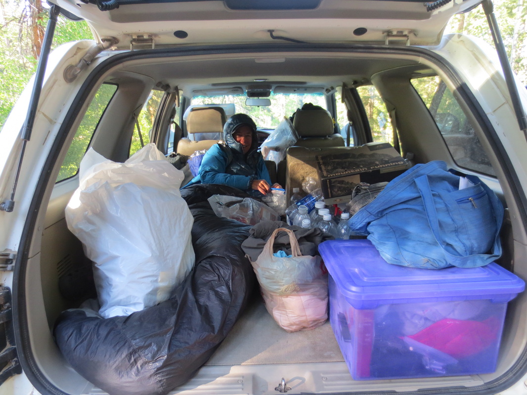
After hiking for nine days straight we are tired. We are taking a break at a Best Western motel in Lander before we begin hiking through the Wind River Range. Our typical day while hiking this section has been getting up around 5:00 a.m. after car camping, eating breakfast and breaking camp, setting up the cars for a day hike, hiking all day and into the evening, finding a place to car camp, rearranging our cars for sleeping, figuring out our plan for the next day or two and then going to bed. There has been no down time.
Since leaving the Rawlins area we continued to hike through the desert in the Great Divide Basin up to mining town of South Pass City. Then we drove south to hike a 40+ mile mountainous stretch closer to the CO/WY border that we had bypassed earlier due to road closures.
Weather: We continue to have good weather. The temperatures have been in the 70's and 80's in the desert and cooler when we have hiked in the mountains. Since we began hiking in NM in April we have only experienced two brief rain showers and one short-lived snow storm. Many days in WY have been very windy. Setting up our hike from Battle Pass (around 10,000 feet) I thought the car door was going to break off of its hinges when I opened it to step outside!
Impressions:
* We saw more wild horses in the Great Divide Basin. I love seeing them! Apparently, seeing wild horses along the CDNST is fairly rare so we feel very lucky.
* We hiked on the California, Oregon and Seminoe Cutoff trails that the pioneers and missionaries used during the mid to late 1800's.
* We continued to see pronghorn antelopes in the desert and learned that despite their common name they are not antelope at all.
* Unfortunately, we picked up a few ticks while hiking through the desert. I hate those nasty buggers! They shouldn't be a problem as we head into the higher elevations of the mountains. A Lander resident said that July and August are the peak months for mosquitoes in the Wind River Range. We hope he is right!
* The snow is melting but at elevations over 10,000 we had to cross snow fields. When we encounter snow it slows us down because of plunging into and then pulling ourselves out of the snow and having to spend more time finding the trail which is often obscured.
Condition: Mike and I have no injuries or blisters. Yea! We are just tired.
Coming up: As the trail heads northwest from South Pass City we will begin to enter the Wind River Range. Hikers that have completed the CDNST in previous years have reported this to be one of their favorite parts of the trail. They have also said it has kicked their butt! The CDNST through the Wind River Range is surrounded by forests, lakes, mountain peaks and hovers between 9,000 to 10,500 feet.
Total WY Miles to Date: 221
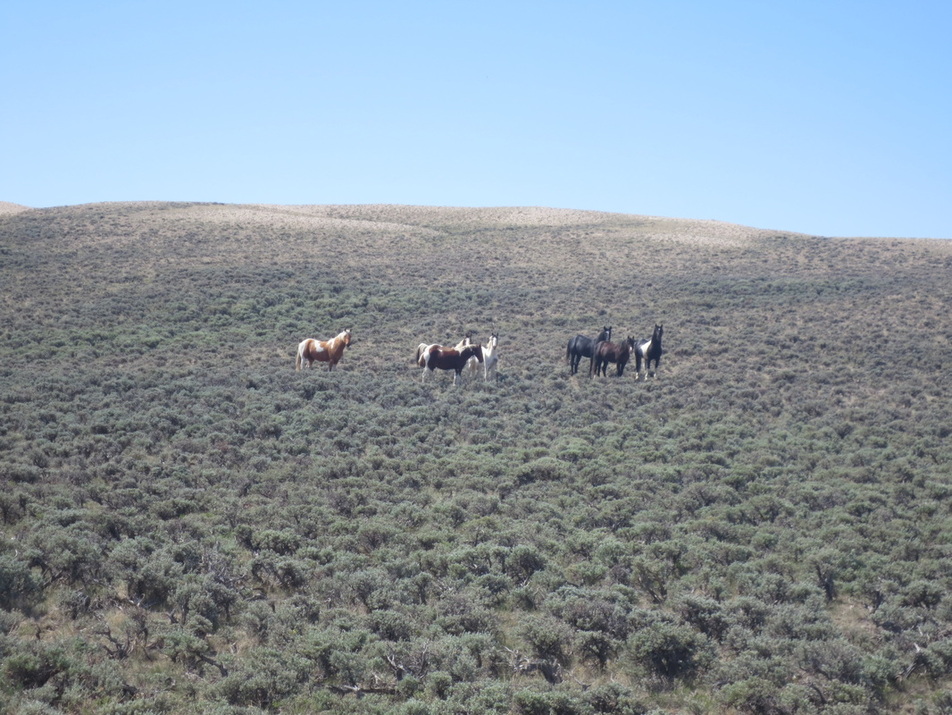
Wild horses! The Bureau of Land Management estimates that there are about 5,000 in WY.
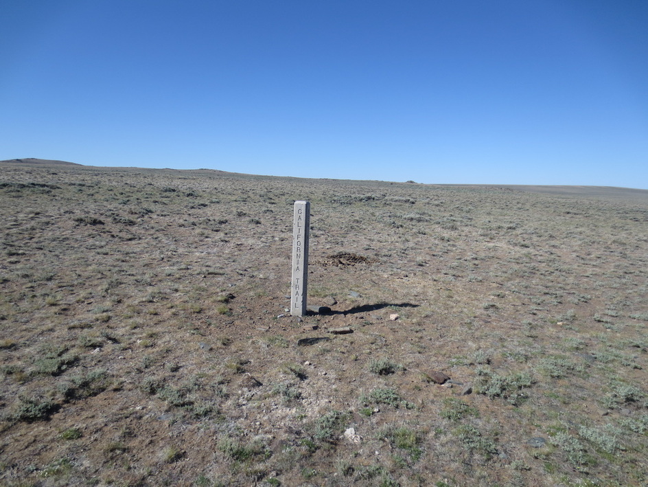
Part of the CDNST follows this trail that the pioneers used in the mid to late 19th century
.
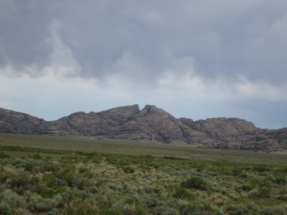
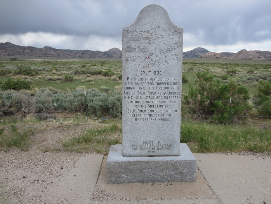
Split Rock
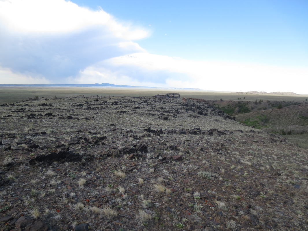
Crossing the Antelope Hills
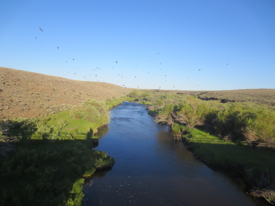
Emigrants crossing the desert must have appreciated reaching this - the Sweetwater River. Swallows enjoying the early morning.
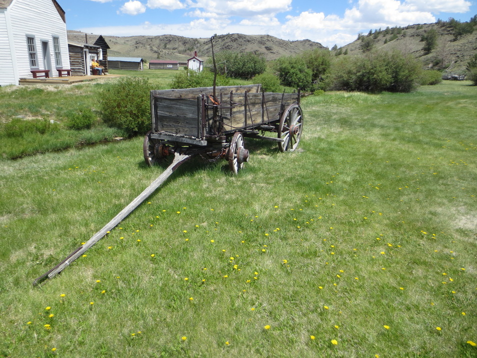
Section of South Pass City - mining town from mid to late 1800's that is now a WY State Historic Site.

Picture of children that lived in South Pass City. From the skittish, wild pronghorns we have seen I am amazed that one could be raised as a pet! And with a dog!
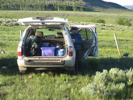
Getting ready to hike....
|
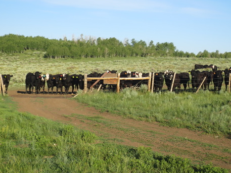
.....and cows wondering if we will ever get going. Evidence cattle guards do work.
|
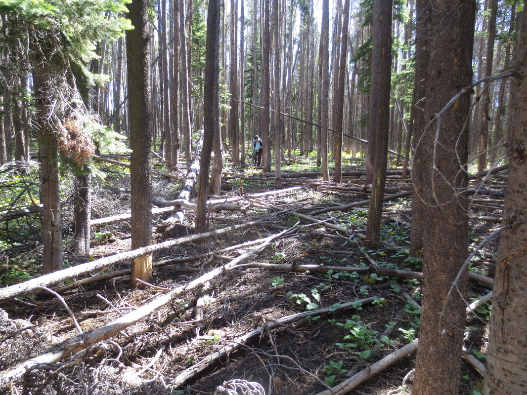
Back in the mountains. Sometimes the trail could use a little maintenance!
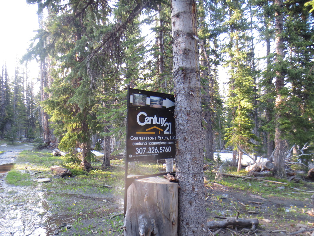
We had been walking for miles on a quiet forest trail and then we see this!
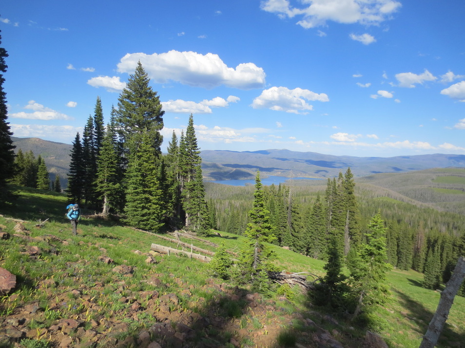
Hiking near CO/WY border with Hog Park Reservoir in the distance
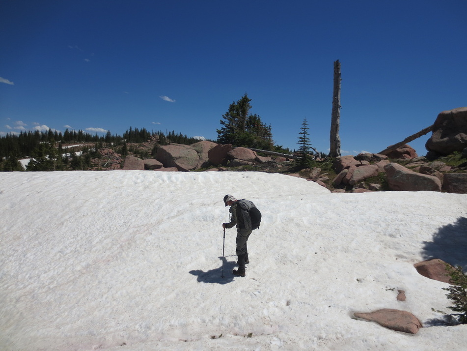
Mike carefully crossing a snowfield
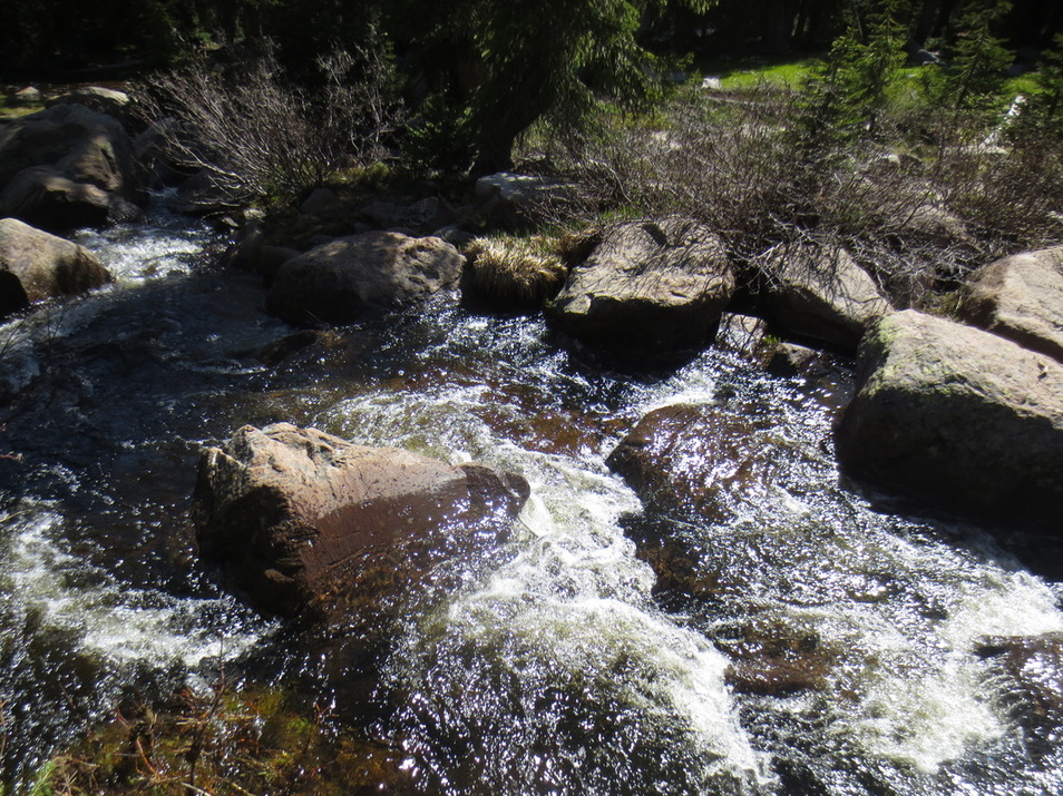
My hiking pole washed away when I dropped it crossing this creek. Mike chased it downstream a few hundred feet and plucked it out. Yea!
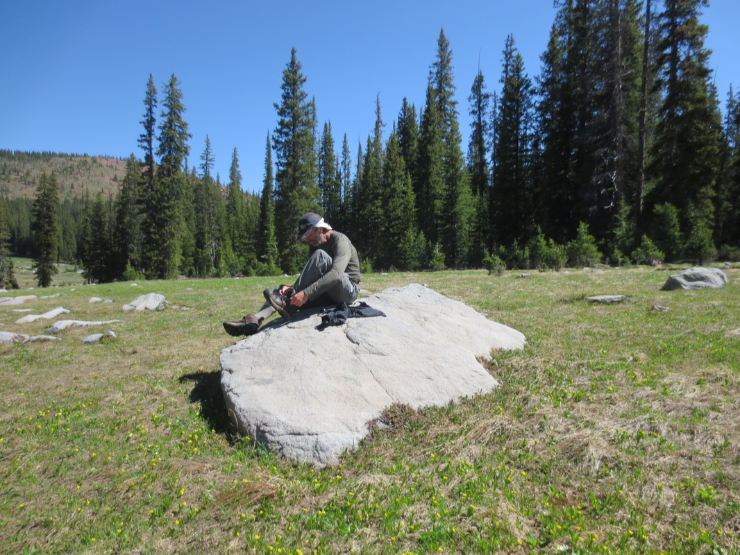
Unfortunately, Mike's feet were drenched while retrieving my pole. Here he is ringing out his socks and draining his shoes so his feet would be more comfortable for the next 12 miles.

Forest Rd 550 near Hog Park Reservoir in southern WY. Pretty much out in the middle of nowhere. You have to wonder about the thought process of the person that did this. Is it something like..."Hey, that rock I just drove by looks like Snoopy. I must go back and paint it!"
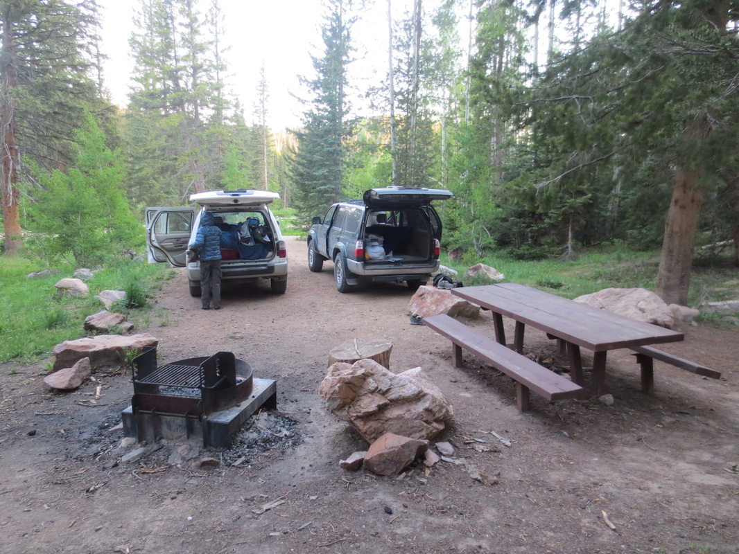
Lost Creek Campground in southern WY. For $5 you get deserted campground with running water, clean bathroom, trashcans and level campsite. Quite the bargain!
My "hotel room" at Lost Creek CG. Mike slept in the green "hotel room".
