Other Travelers
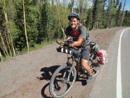
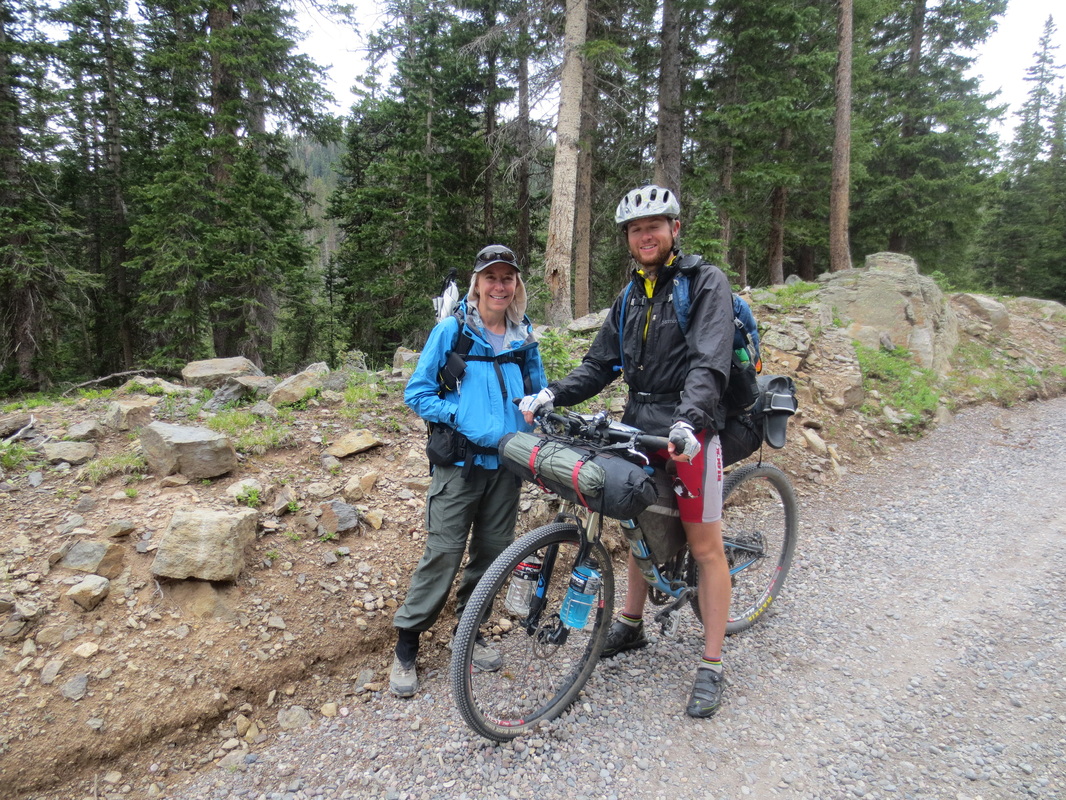
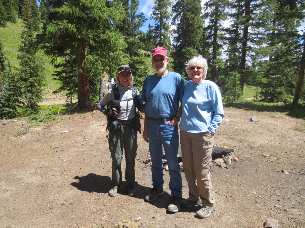
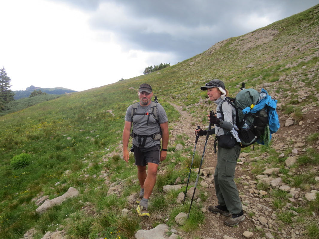
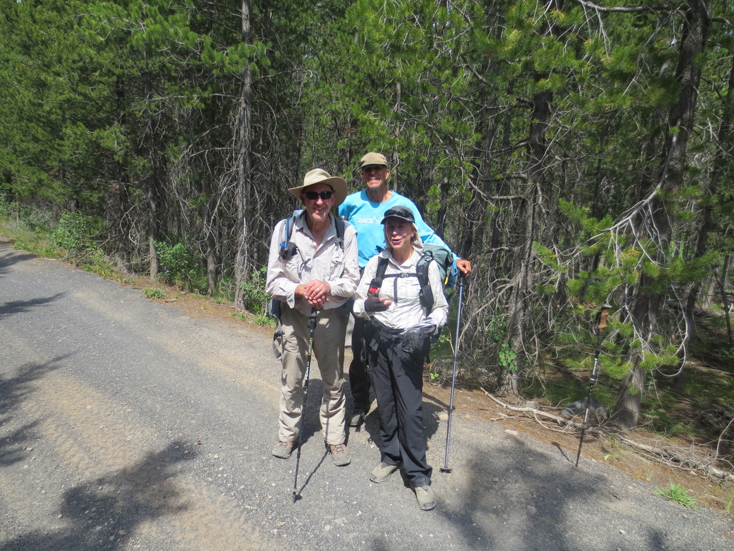
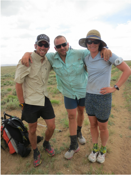
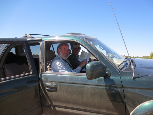
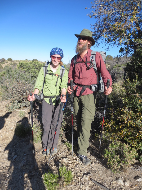
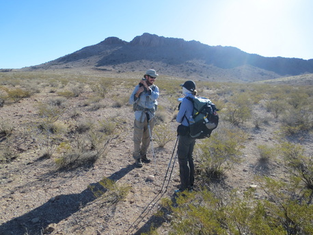
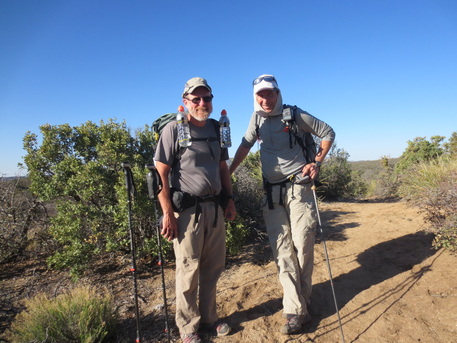
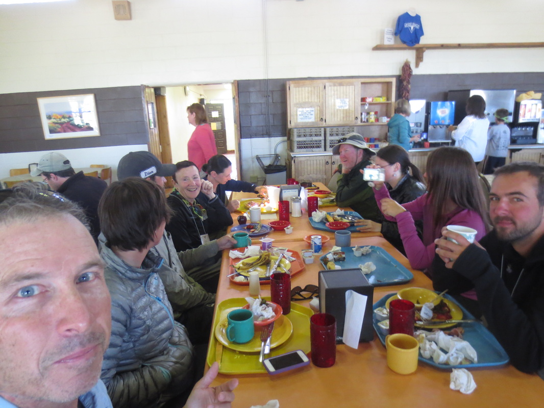
While in CO we met two mountain bikers riding the Great Divide Mountain Bike Route, a fellow CDNST hiker and trail angels! Pictures below.
Other Hikers
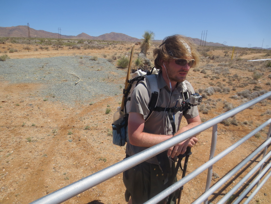
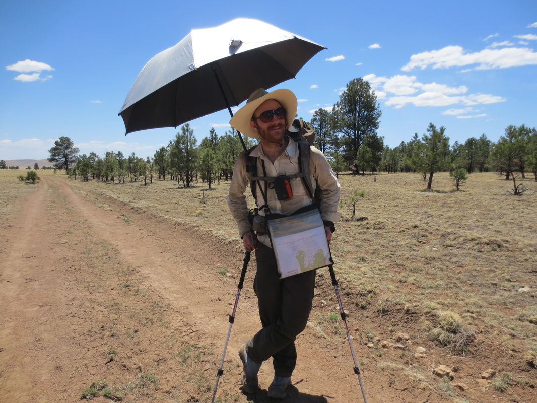
We have met over 50 through-hikers that are attempting to hike the trail from the south. Hikers from the north usually start around June 15.
This is reportedly a banner year for hikers on the trail. One possible explanation for the increase in hikers is because Jerry Brown of Bear Creek Survery Service has posted waypoints for the entire trail on his website (in addition to selling maps). Since the CDNST is a cobble of visible dirt roads, barely visible dirt roads, trails, cross-country travel and paved roads - the waypoints can be extremely helpful in finding your way. To add to the navigational challenges, many times there are optional routes.
In addition to Jerry Brown's waypoints/maps, Jonathan Ley also provides maps and extremely helpful notes about water sources, squirrely dirt road intersections, optional routes, etc. In the past, Jonathan Ley's maps were the only ones available for the trail.
