June 14, 2013
Around & Through Rawlins
After being held up in Steamboat Springs, CO while one of our SUV's was being repaired it was nice to get rolling again! Our plan was to start hiking at the CO/WY border but we discovered that the road we needed to access the trail was closed. The National Forest Service office in Steamboat Springs told us that the soonest the road would be open would be on June 15, possibly later. Because we were tired of waiting around we moved on to an area about 40 miles south of the town of Rawlins to continue the journey. We will probably return to this 40+ mile orphaned section in a week or so.
Weather: The weather has been dry and in the low 80's. Yes, it's true, it can be very windy in Wyoming!
Impressions:
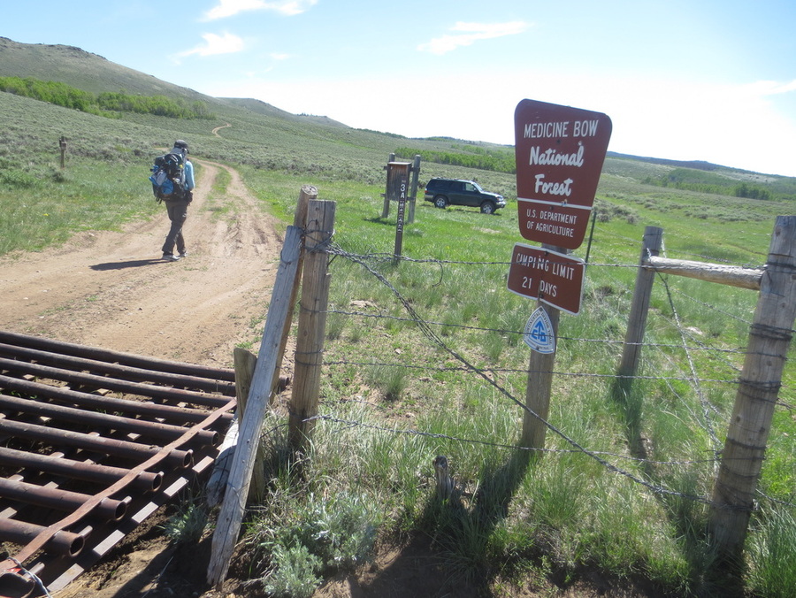
* The terrain south of Rawlins - from 7,200 to 8,500 feet - is in an interesting mixture of sage and low grasses, flowers including lupine, riparian habitats and aspen trees.
* In the rolling hills south of Rawlins there is a wonderful fragrance of spring blooms in the air. It smells somewhat like a mixture of honeysuckle and sage.
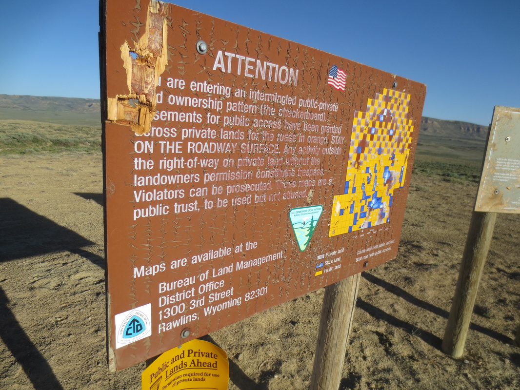
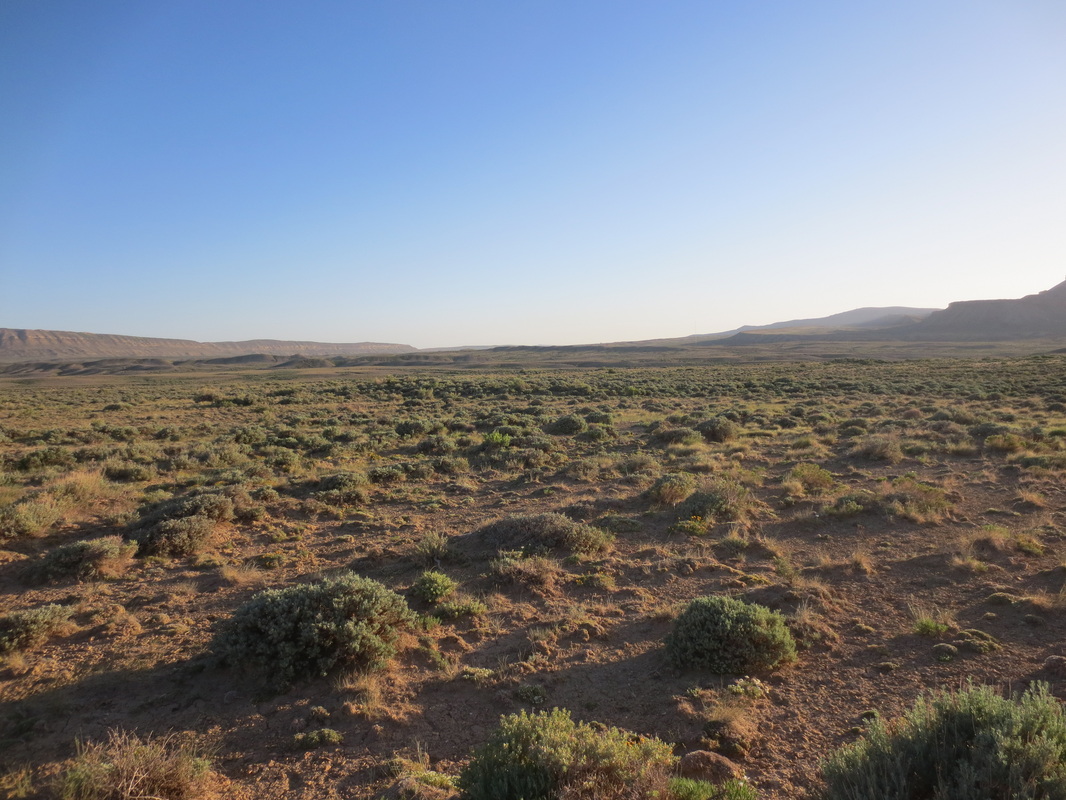
* The land north and south of Rawlins is a giant checkerboard of public and private land. When you look in the distance you have a sense of vast areas of open space. On closer inspection (translation - signs saying "no trespassing" or "stay within 30 feet of the road") you find that it is a confusing mixture of public and private land.
* Prior to seeing them we saw lots of manure. Then we saw them - the famous wild horses in the Great Divide Basin. Pretty cool!
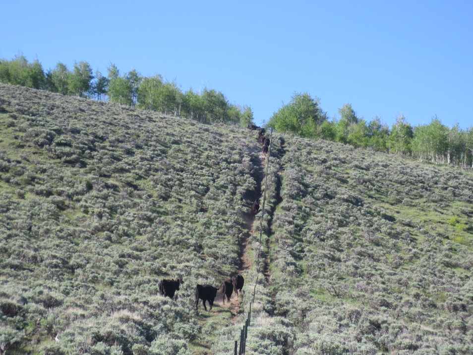
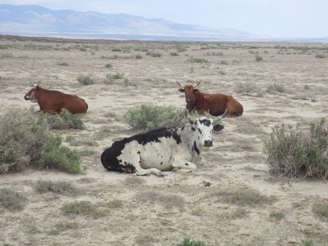
* Of course there are cows - I have decided that any and all open space in the west is used for cattle grazing. We must eat vast quantities of beef!
* We have never seen more pronghorns in our lives. Prior to hiking here I thought they were fairly rare. Wrong - they seem to be as ubiquitous as the rabbits in our yard in CO!
* Rawlins is a community of about 10,000 people The largest employers are Sinclair Oil Refinery, Union Pacific Railroad and the Wyoming State Penitentiary.
* We met our first southbound hikers north of Rawlins. Their picture is on the Other Hikers page.
Our condition: Mike and I both feel good. There is not one bit Leukotape (our preferred choice for blister protection) on our feet. Yea!
Coming up: We will be hiking sections southeast of South Pass City (not really a city - think historic site) and then moving back to the border of CO & WY to complete the area we bypassed about a week ago.
Total WY Miles to Date: 102
Weather: The weather has been dry and in the low 80's. Yes, it's true, it can be very windy in Wyoming!
Impressions:
* The terrain south of Rawlins - from 7,200 to 8,500 feet - is in an interesting mixture of sage and low grasses, flowers including lupine, riparian habitats and aspen trees.
* In the rolling hills south of Rawlins there is a wonderful fragrance of spring blooms in the air. It smells somewhat like a mixture of honeysuckle and sage.
* The land north and south of Rawlins is a giant checkerboard of public and private land. When you look in the distance you have a sense of vast areas of open space. On closer inspection (translation - signs saying "no trespassing" or "stay within 30 feet of the road") you find that it is a confusing mixture of public and private land.
* Prior to seeing them we saw lots of manure. Then we saw them - the famous wild horses in the Great Divide Basin. Pretty cool!
* Of course there are cows - I have decided that any and all open space in the west is used for cattle grazing. We must eat vast quantities of beef!
* We have never seen more pronghorns in our lives. Prior to hiking here I thought they were fairly rare. Wrong - they seem to be as ubiquitous as the rabbits in our yard in CO!
* Rawlins is a community of about 10,000 people The largest employers are Sinclair Oil Refinery, Union Pacific Railroad and the Wyoming State Penitentiary.
* We met our first southbound hikers north of Rawlins. Their picture is on the Other Hikers page.
Our condition: Mike and I both feel good. There is not one bit Leukotape (our preferred choice for blister protection) on our feet. Yea!
Coming up: We will be hiking sections southeast of South Pass City (not really a city - think historic site) and then moving back to the border of CO & WY to complete the area we bypassed about a week ago.
Total WY Miles to Date: 102

What appears to be open space as far as the eye can see....
....but not all is as it appears. Yikes - who came up with this plan!?
Our car camping spot one night
Cows on the move - we scared them as we walked by. I have never heard so much mooing!
Odd to see an aspen grove right above fields of sage.
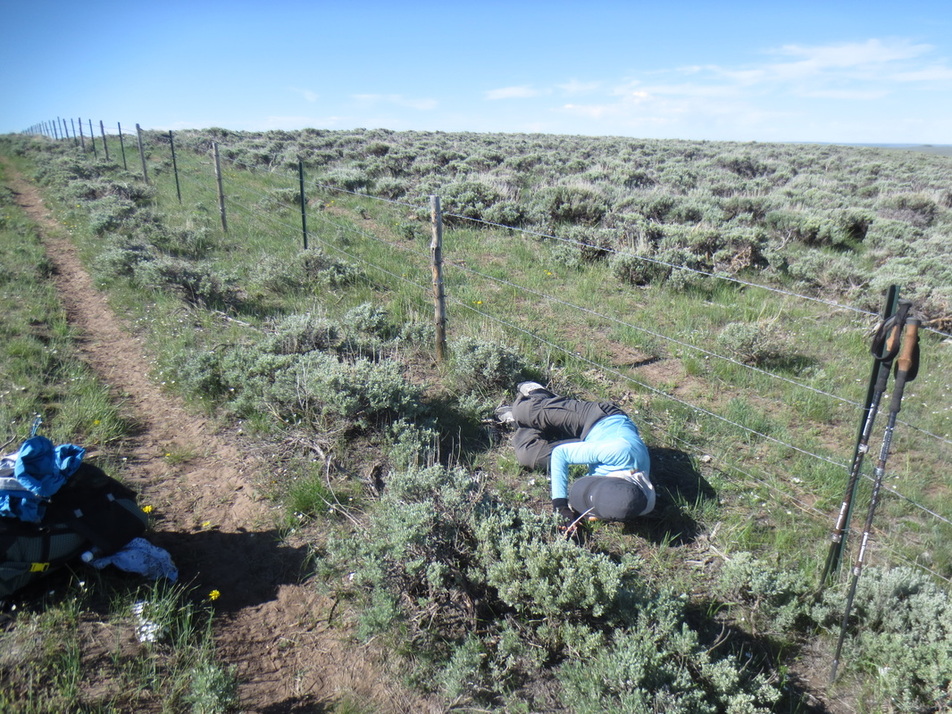
Afternoon siesta
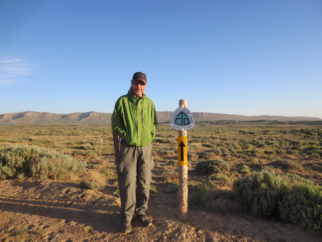
NIce big sign pointing the way....
|
.....but they forgot to build a trail or even hint at the cross-country route. Very common on CDNST.
|
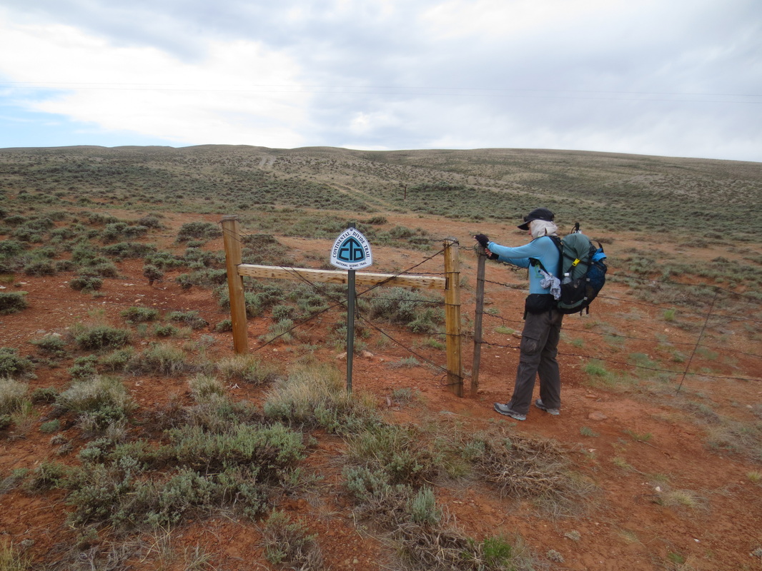
A typical gate. To open it you have to unwind the wire at the top. Strangely, many times the top wire is barbed.
Another common "gate" along the trail
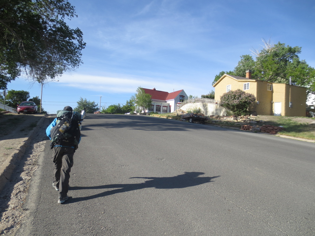
The "trail" through Rawlins
|
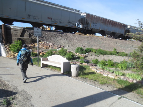
There is large Union Pacific railroad yard in Rawlins. I am not sure that planting an ornamental garden behind a nicely etched stone bench can make a purse out of this sow's ear!
|
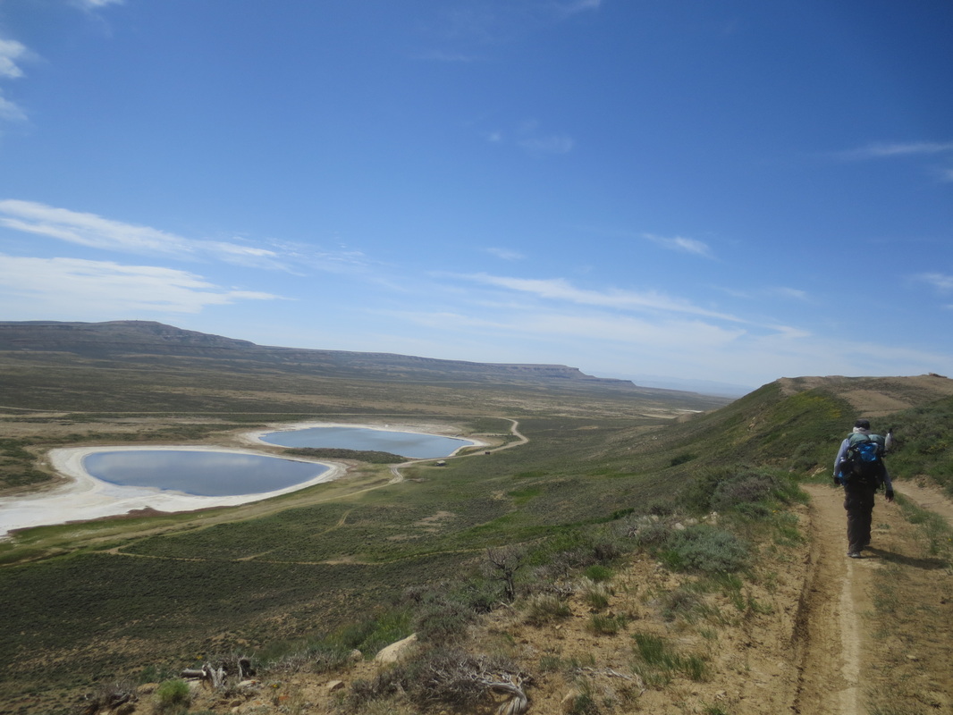
Two lakes on the Eightmile Lake Basin. None of the other lakes had water.
|
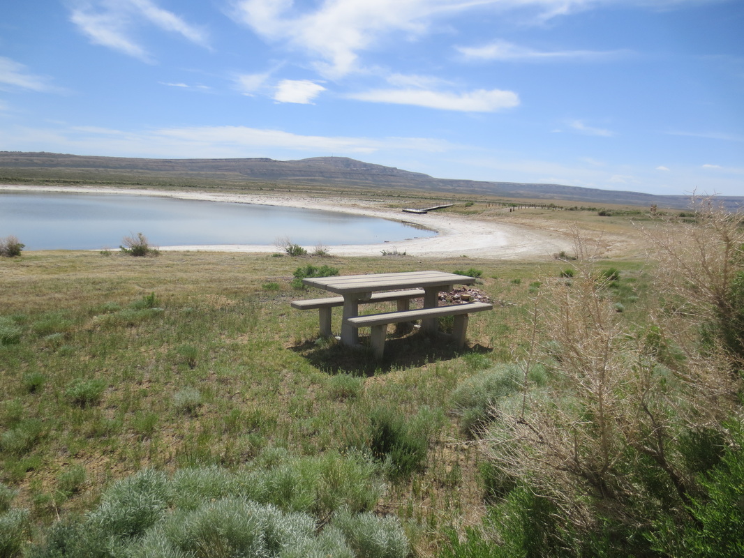
Notice that the dock in the distance and the water don't connect. Oops!
|
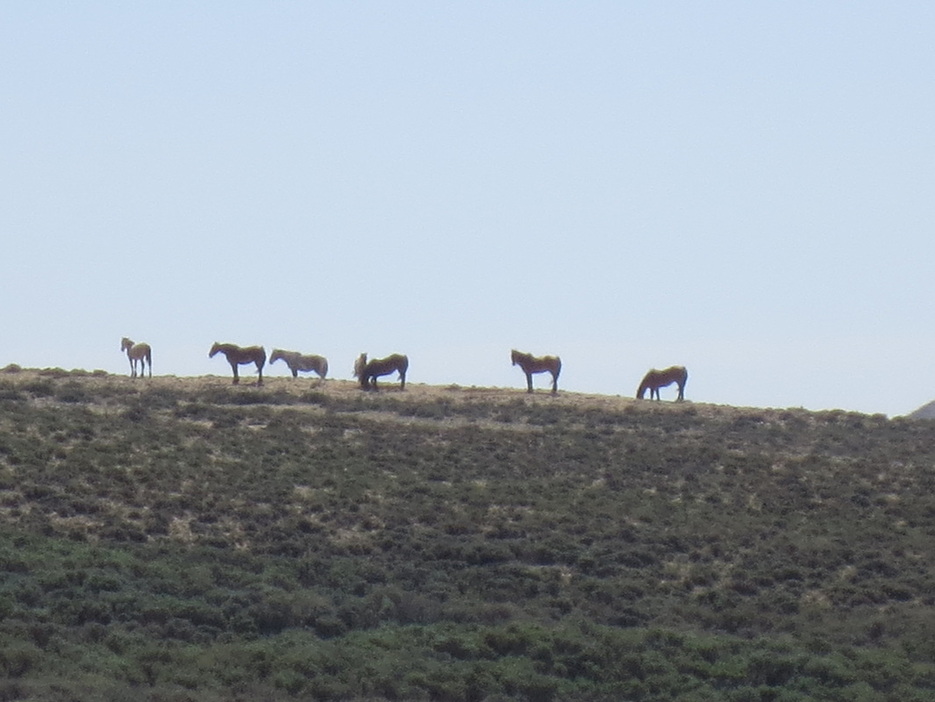
Wild horses!

Pronghorn. It is cited as the second-fastest land animal, second only to the cheetah.
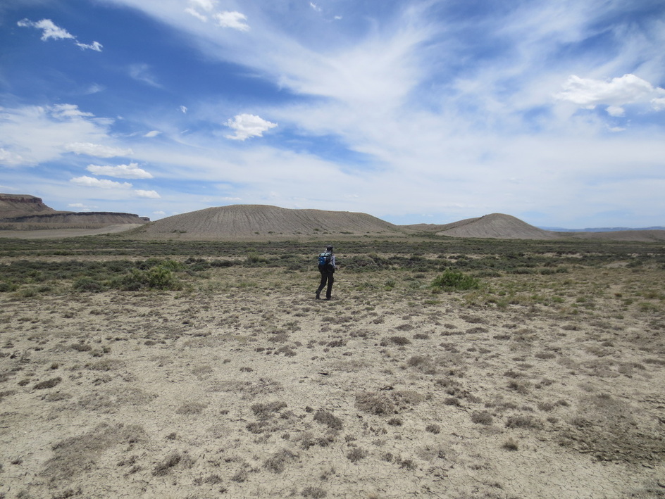
Again, the sense you could walk anywhere...

....but a reminder to not get carried away!
